Fleet-wide weather routing software offers environmental and safety benefits
Technology is key to supporting our sustainability goals. As part of our digitalisation journey, we’ve rolled out an advanced weather routing system across our fleet to not only reduce emissions but also improve onboard safety for crew and cargo.

Sustainability has always been an integral part of our operations at Wallenius Wilhelmsen, and the digitalization of our fleet is just one of the ways we aim to achieve our goals. As part of this ongoing commitment to reducing emissions, we’ve installed a single weather routing software solution across all our vessels.
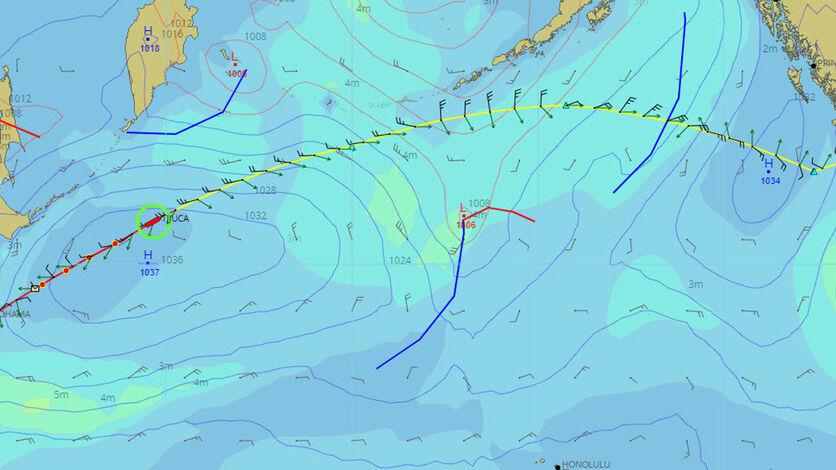
Developed in partnership with one of the world’s largest weather service providers, StormGeo, the software has the potential to not only predict fuel consumption but improve safety by using state-of-the-art weather and ocean currents models and forecasts to optimise a vessel’s route.
"The system can predict the speed loss from sea currents and wind and wave action throughout a voyage,” explains Geir Fagerheim, senior vice president of marine operations. “For a given arrival time, it can estimate which route will involve the least energy consumption and corresponding emissions.”
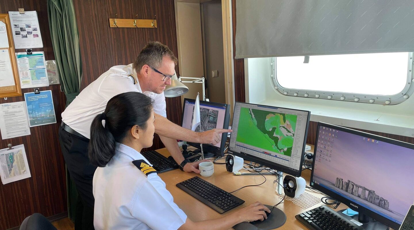
The technology enables updated route information and weather forecasts to be exchanged continuously between vessels and the meteorological operations centre, with all routing decisions then relayed back to the on-shore vessel operators through a map-based web application.

Weather routing software can help to optimise a vessel's route for improved safety and reduced fuel consumption
Aside from the potential to reduce emissions, weather routing software also prioritizes the safety of both crew and cargo. As Fagerheim explains, route planning is always made to avoid adverse weather, but should a vessel head towards conditions outside the set criteria – for example the maximum allowed wave height – an alert system is in place that allows the on-shore command center to engage with the crew and agree on risk mitigation actions.
Weather routing software was first introduced to our vessels back in 2007, when multiple solutions were in place to calculate routes based on weather conditions. Today, the roll-out of a single fleet-wide solution not only improves the ease and speed of data exchange but delivers greater transparency for shore-based vessel operators who have access to real-time information.
Improving the level of transparency across our operations also delivers benefits for customers. “The digitalization of our fleet brings visibility and predictability to our customers’ operations, as well as enabling them to reduce emissions across their own supply chains,” says Fagerheim. Certainly, continuous improvements in meteorological models combined with the advanced digital performance of our vessels mean route optimization can now take place at a precision level that was beyond reach just a few years ago. “Moving forward, we expect these capabilities to contribute significantly to both efficiency and emissions reductions from the ships we operate,” he adds.
The digitalization of our fleet brings visibility and predictability to our customers’ operations, as well as enabling them to reduce emissions across their own supply chainssenior vice president of marine operations
Looking ahead, weather routing software could offer further opportunities to improve route efficiency. “The ocean environment and weather have a significant impact on our operation planning and emissions,” says Fagerheim. “In the future, there’s the potential to harness this information to develop machine learning and AI methods that will continue to support our tactical and operational planning and optimization.”
The benefits of weather routing software:
- Improved predictability regarding vessel arrival time
- Reduced risk of cargo damage
- Route optimization enables emissions to be kept as low as possible
- Improved safety for crew, vessel and the environment
- Groupwide approach ensures consistent practices in execution